After doing all the other stuff, I kind of had a toss-up as to what to do on Wednesday. I wanted to try the Kinkowan Park hike, but that would tie me up for at least 4 hours. Tenmonkan was advertising a rice pounding event at noon, with free mochi being handed out. I've had the mochi before and it's ok, but it wasn't really something I wanted to plan my entire day around. Plus, there was going to be a children's event at Dolphin Port including a demonstration with a trained monkey at 1 PM, and I had an interest in seeing that. But, I needed the exercise and the hike looked challenging, so that's what I decided to start with.
Unfortunately, the park, and the zoo, are a 50 minute bus ride from Tenmonkan, and the earliest bus would be at 7:17 AM, followed by 7:47, 8:17 and 8:47. And to get ready in time, that meant getting up at 6 AM. I think I only got 4-5 hours of sleep that night, and had finally drifted off again when the alarm rang. I checked email, posted the next blog entry for the day, took a shower and got out of the apartment at 6:50. There's a konbini across the street from the bus stop, so I bought a couple bottles of water, some chocolate-covered biscuits and 2 egg sandwiches, then I went to stand and wait for the bus. It was 5 minutes late, but once I was on, I read the next book I'd gotten for Christmas (and yes, I carried a half-pound book with me on the trail for the entire hike). The bus arrived at the zoo at 8:10. I paid the 440 yen ($4 USD) and walked the 2 blocks to Kinko Bay Park. From there, I tried to figure out the tourist map, and tentatively skirted the park along the main street.
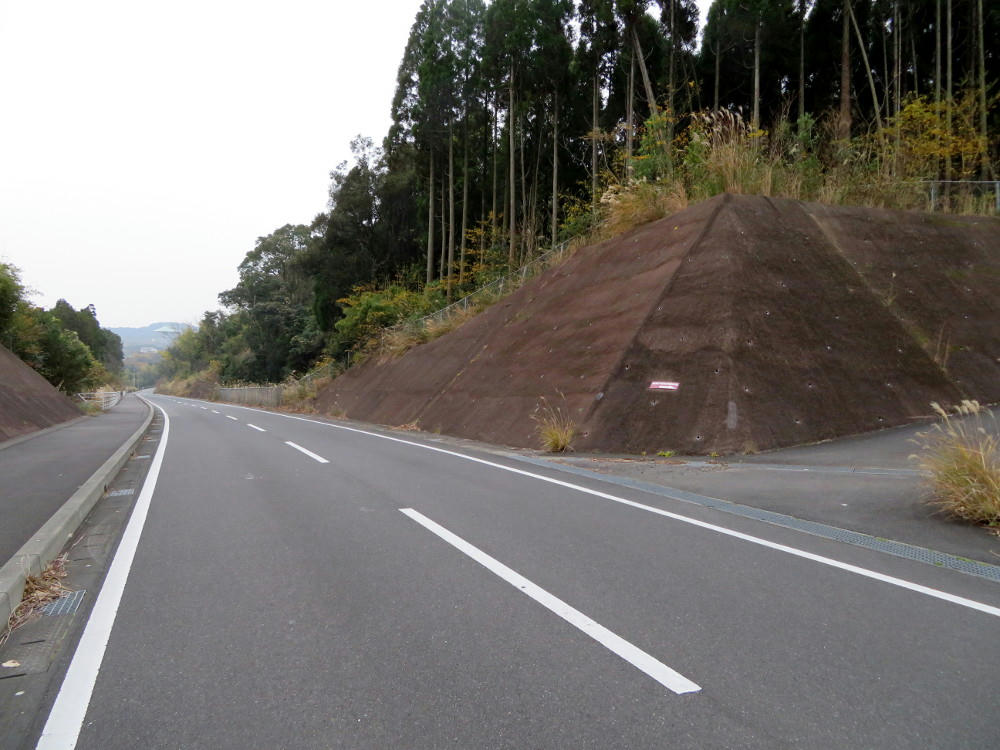
The air was cool, not cold, but overcast. I walked south past the horse riding school and a handful of new houses, then got to this gap in the wall with pretty obvious signs indicating that this was the trail head.
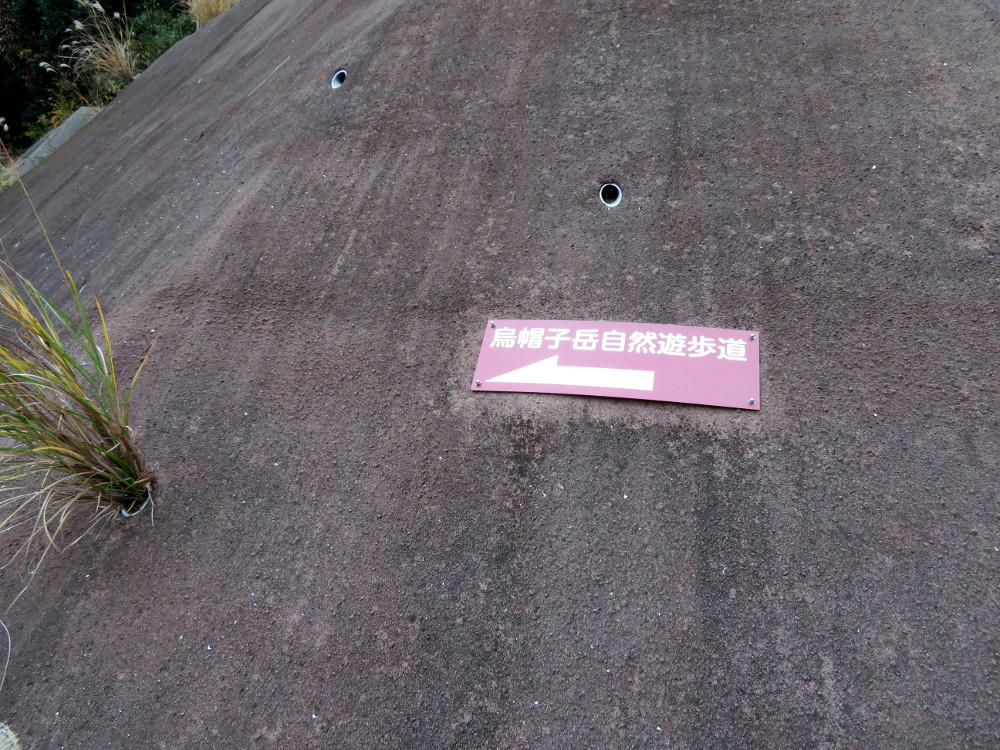
"Eboshitake nature walking trail."
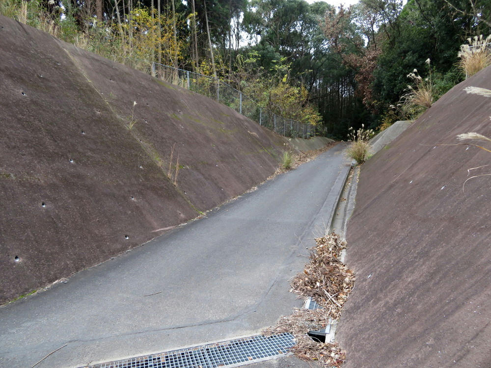
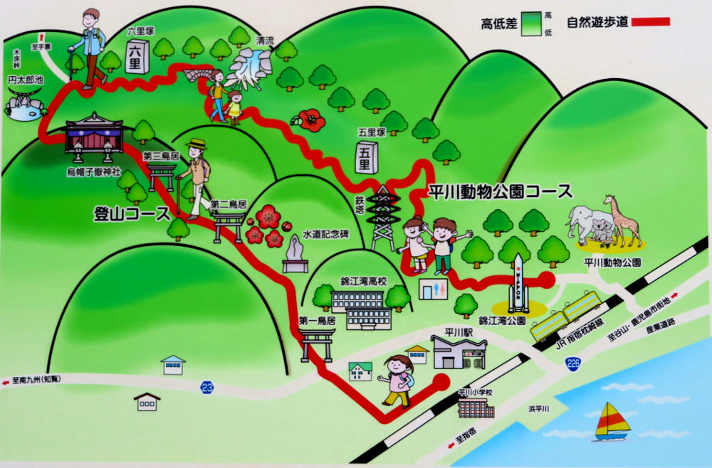
It starts out paved, but very quickly turns into a gravel covered dirt road. Now, one thing to note - the route map up at the top there actually talks about two routes. The first is this one here, which winds up through the big hills for 7 km (with 1.4 km between the front of the park and the trail head), for a suggested 3 hours. It's rated 4 out of 5 stars for steepness, and it ends at Eboshigatake shrine. The second route starts from Hirakawa train station and also ends at Eboshigatake shrine, for a 4.5 km hike, taking 2 hours, but is rated at 5 out of 5 stars for steepness. This means that both routes go up the same amount, but the shorter one is much steeper. Either way, my plan was to start with the long route, get to the shrine, then head out along the short route and take the train back to the main Kagoshima station.
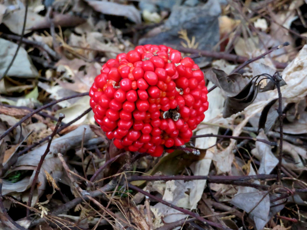
For the most part, the long route was dirt and packed gravel all the way to the 6.5 km mark. There were tire tracks the entire way, and I assumed someone had been checking the trail within the last 24 hours. The gravel did get hard to walk on fairly quickly, and I was wishing I had decent hiking boots, instead of sneakers. The path was a bit steep, but manageable, and trees kept out what little sunlight made it through the clouds. But, the trees also blocked the view along the way. I found a couple of these berry clusters growing on thick stubby stumps coming up from the ground. They provided most of the color in this area.
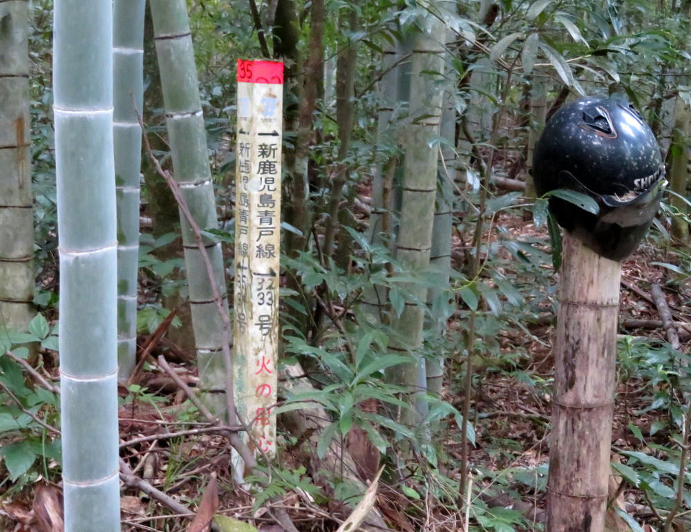
There are signs every kilometer or so saying "no trash dumping." Which didn't stop anyone from dumping trash near the entrance.
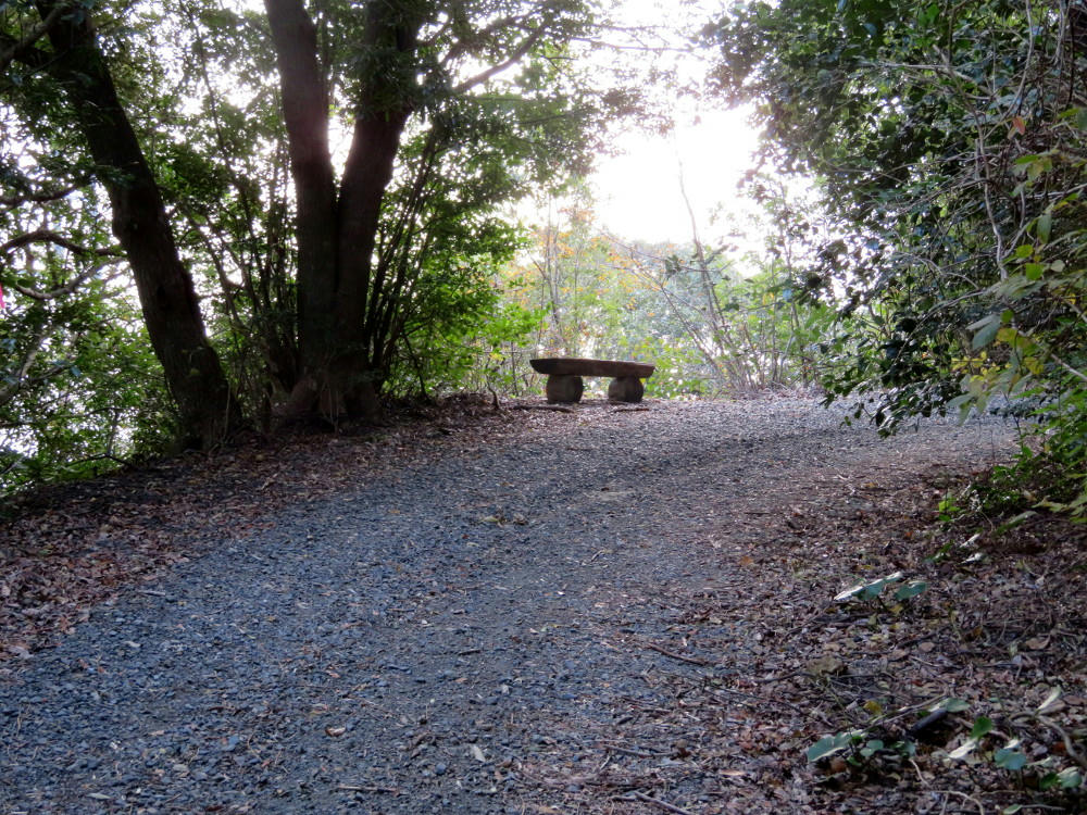
After about 30 minutes, I got to the first rest point. I was wondering what kind of view it would offer.
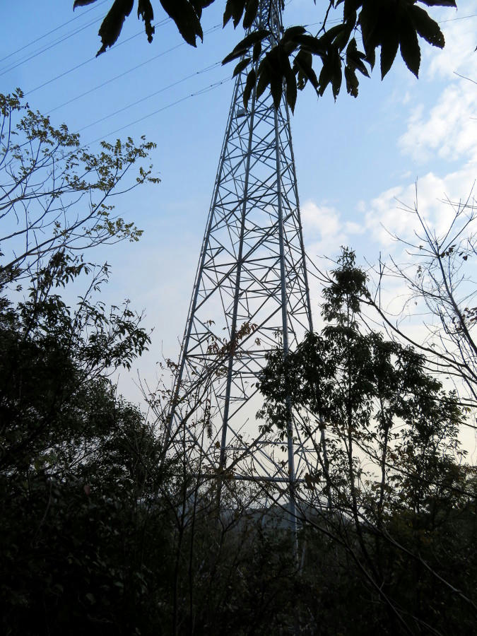
And this is what I got.
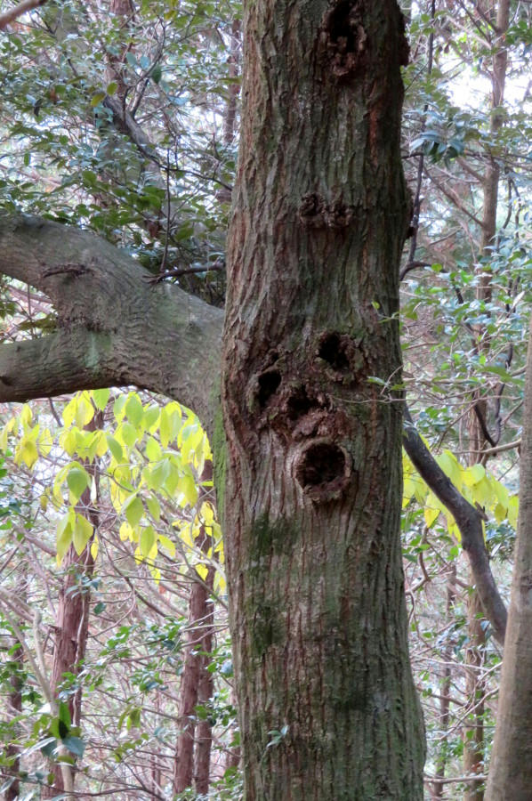
Although, this guy was also waiting for me there.
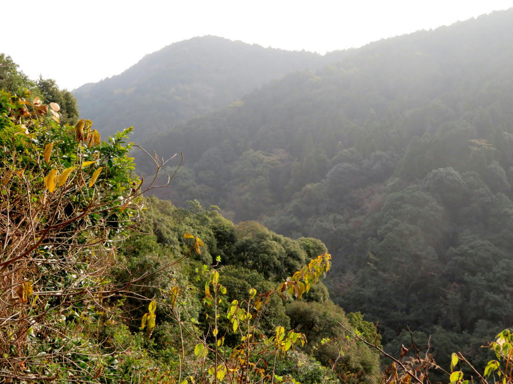
Occasionally, I'd scare something hiding in the bushes up in the hill, but I'd never see what made the noises. Most of the bird sounds along the way were for crows, pigeons or sparrows, which got boring fast. Then, when I got to this break in the trees, I turned left to see if I could at least spot something out there flying around. Suddenly, there was a beating of wings right behind me. I spun around in time to see something small, fuzzy and brown breaking out of the bushes 3 feet away and then rushing up the trail to get away from me. I can't be absolutely sure, but I'd like to believe it was a ground owl. It disappeared up into the trees and I never saw it again. If asked, I'd say it was a small owl.
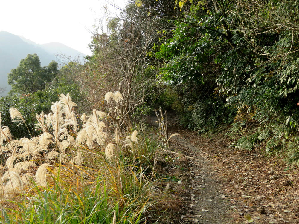
(The trail.)
As I gained altitude, there were little creeks forming on the trail before going over the edge downhill. I heard running water for most of the trip, but I couldn't see the river down at the bottom. At one point, there was a clearing near one of the creeks, and something that looked like a jay or a robin, but with green feathers, flew out and landed on a branch about 20 feet away. I got the little camera, but as I was focusing it, the bird flew off. Sigh. So yeah, I did see a bit of wildlife, but nothing I was able to document.
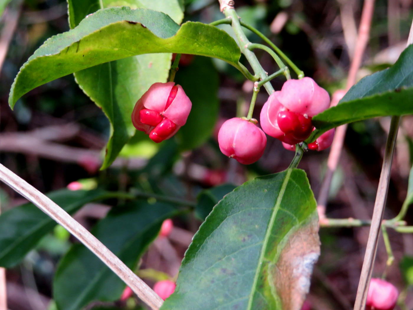
I found a tangled vine covered in berries, but it didn't show up well in the photo. I took a close up of some of the berries, and I like the way that turned out. Most of the trees were pines or cedars, so the hills looked green everywhere, but things like the persimmon trees were dormant, and the fruits were either shriveled and black, or picked over by birds.
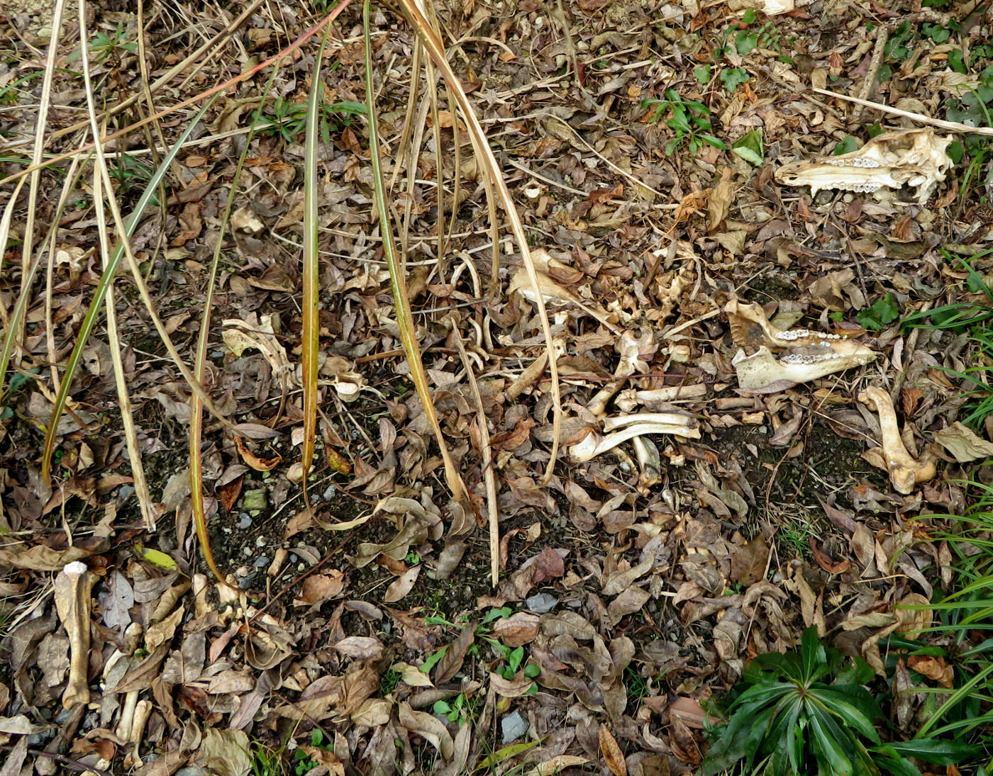
Speaking of picked over, I found these bones right next to the trail. I assume whoever had driven up here earlier would have seen these as well, but had chosen to ignore them for some reason. The rib cage is missing, but there's both halves of the skull, and what I think are leg bones.
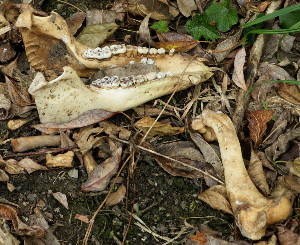
I was half expecting to encounter wild boar, deer or bear along the way. Or at least some feral cats, but this looks more canine. I haven't heard of wolves in Kagoshima, so maybe was was just a very big dog.
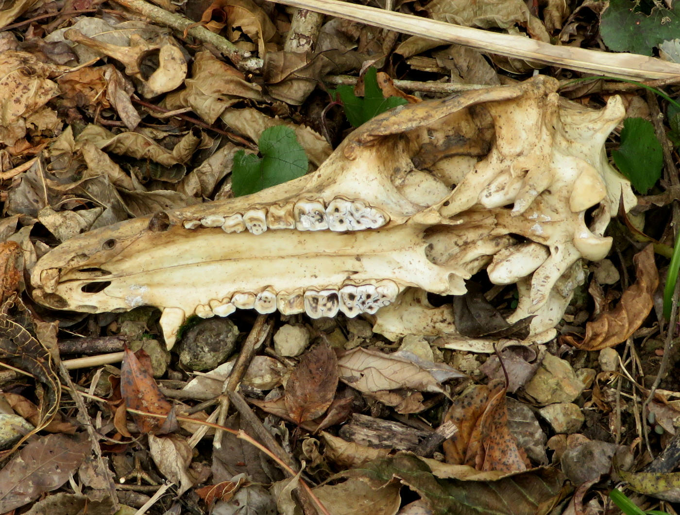
The skull was maybe 10-12 inches long, and that's a good-sized incisor.
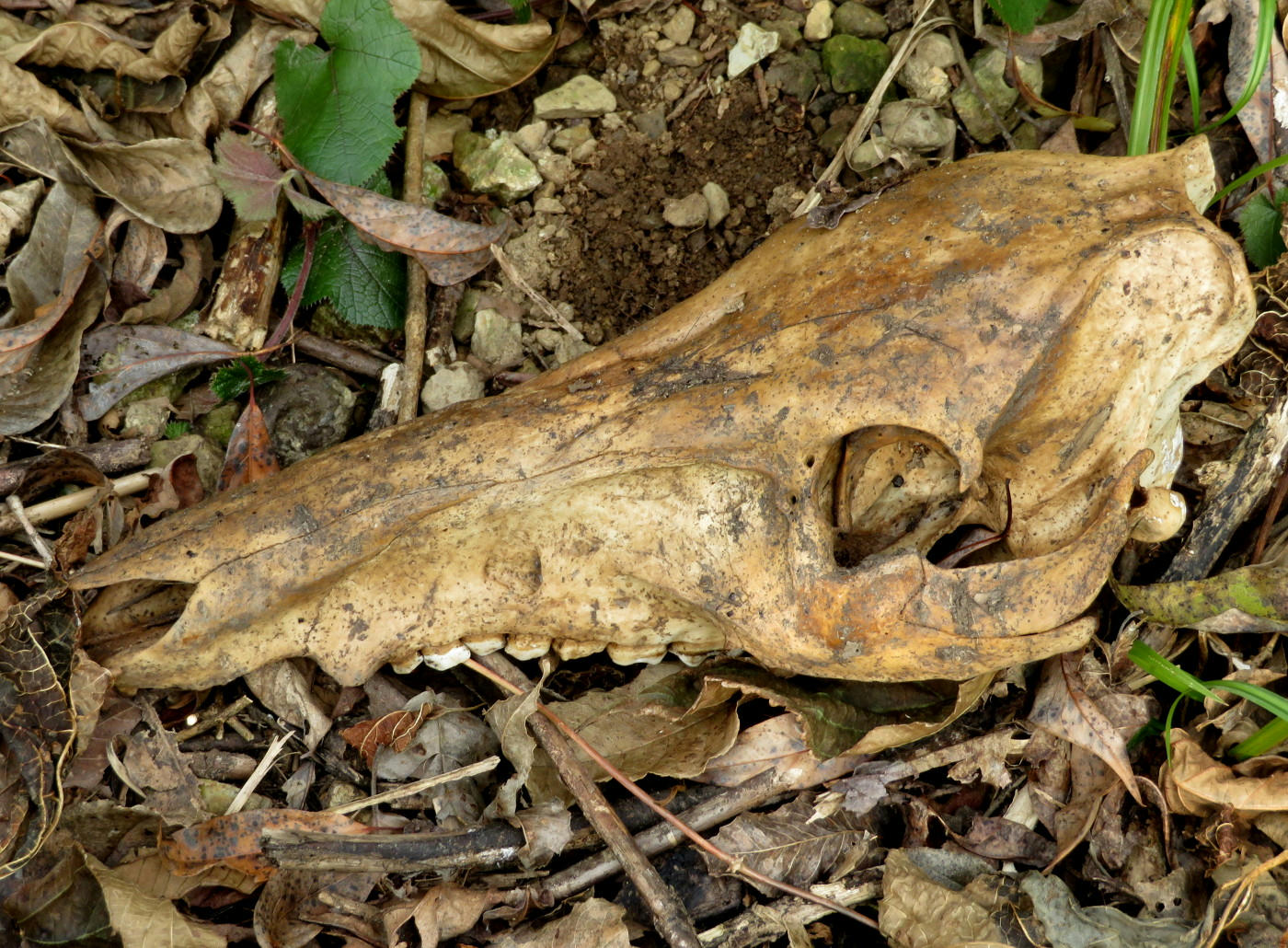
And the top of the head is pretty flat. I have no idea what it was.
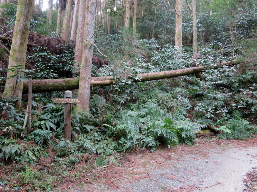
There were occasional signs along the way showing how far I'd come and how far I had to go to get to Eboshitake. I was keeping pretty close to 15 minutes per kilometer. As I was coming up to this curve, the fallen tree was visible from 100 feet away and looked it had been toppled to form a kind of torii gate. The trail took on more of a road-like appearance as it veered off to the right.
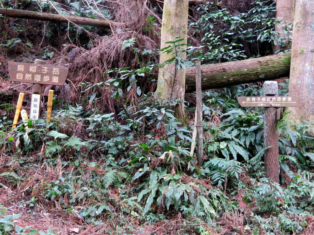
The little sign says "hiking trail to the left, 500 meters to the top of the mountain."
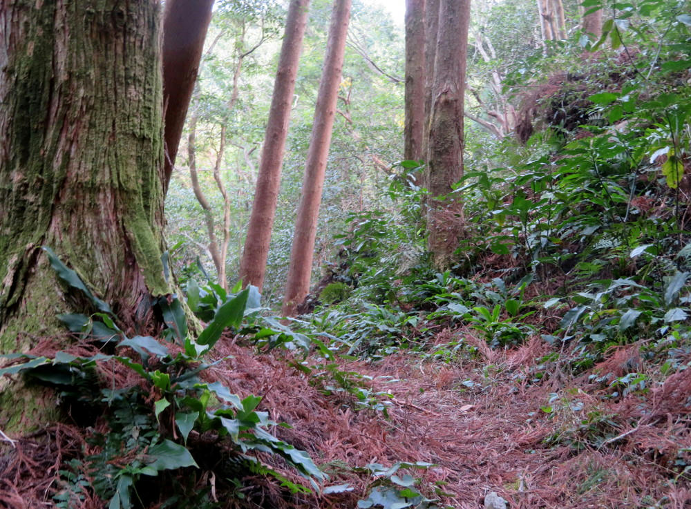
And it turns into a narrow little needle-covered path with a 20 foot drop off on the left side. Goodie.
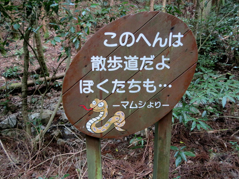
And the sign says "This here is the hiking trail. And we're here, too. Signed, the poisonous snakes." Sigh.
I still had the walking stick I'd bought when I'd been hit by a car and broken a bone in my foot, and I'd brought it with me just in case the trail was harder to walk. Up to this point, I'd just been using it as a counterweight as I'd walked. But, from here I started banging it against the ground to scare off all the snakes. It must have worked, because I didn't get fanged at all.
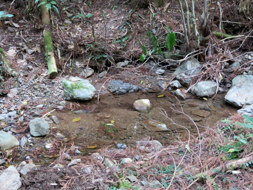
The trail map indicated a spring in this general area. I guess I found it.
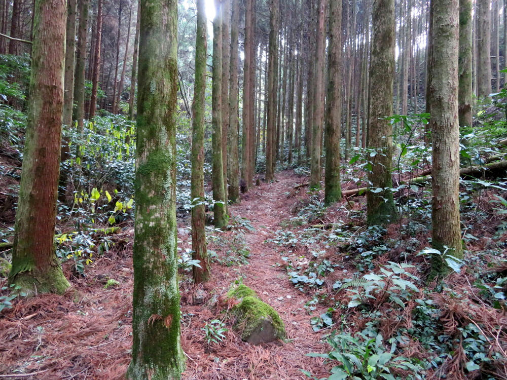
The trail is visible right now. That wasn't always the case. I kept making sure I'd be able to backtrack if the trail ever disappeared completely. Still no snakes.
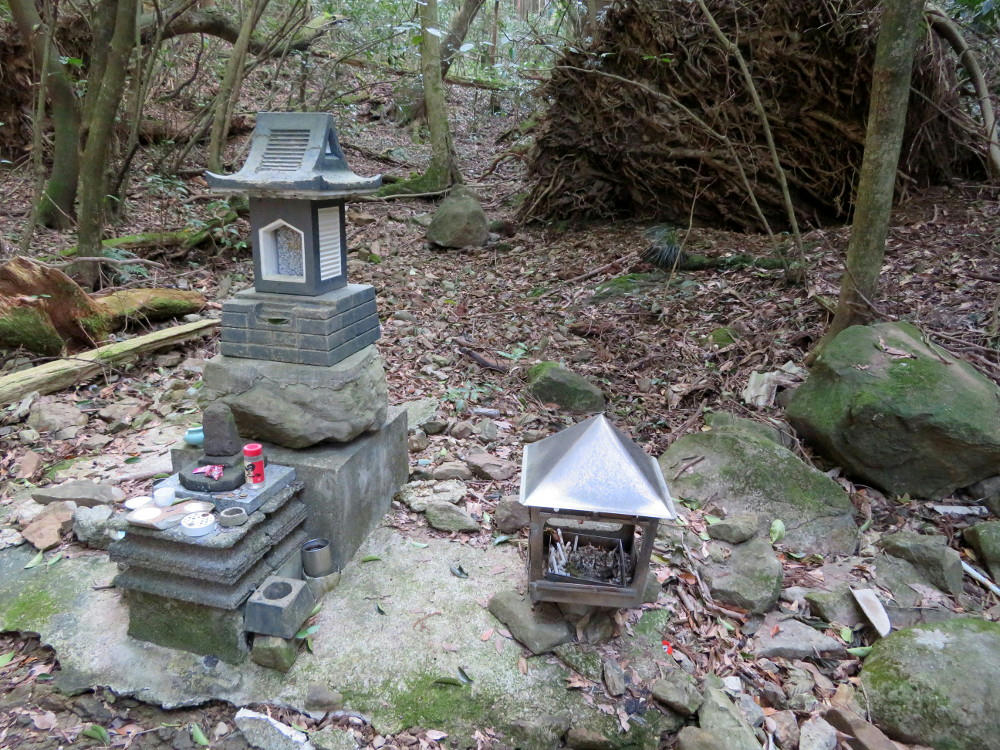
About 250 meters in, the trail made a bend and I found a small memorial of some sort, plus a shed with cleaning tools a little ways away. Someone had been burning incense in the metal thing to the right, and made offerings to the shrine (a cup of sake, incense, candles and some small change.
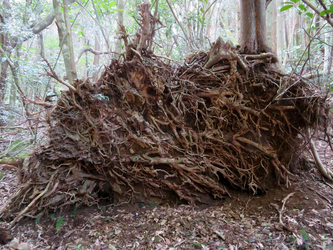
Overturned, but not defeated. Several trees are growing out of the other side of the root mass.
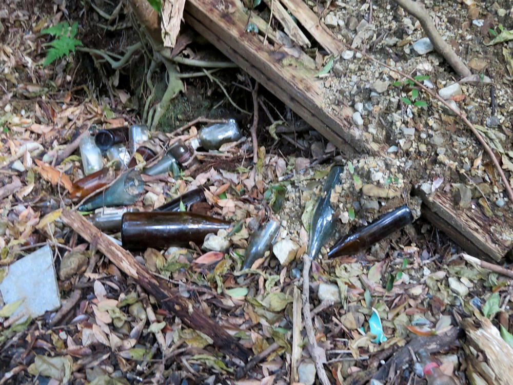
Someone's been doing a lot of drinking out here...
Actually, along with the main trail, there are a couple service trails in the hills for inspecting the electrical and water lines. So, maybe the workers enjoy themselves in the seclusion when there's no one to watch them.
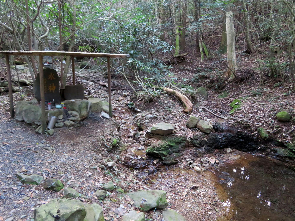
Another stone marker, and the head of the stream.
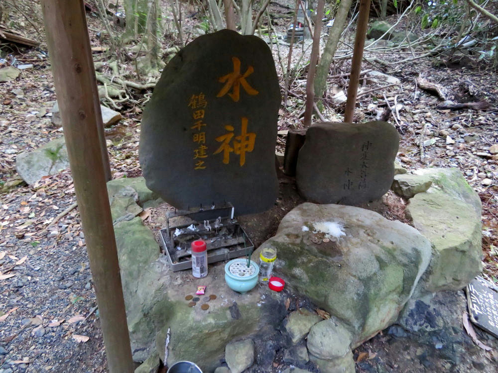
The main carving says "Water God." It also has offerings.
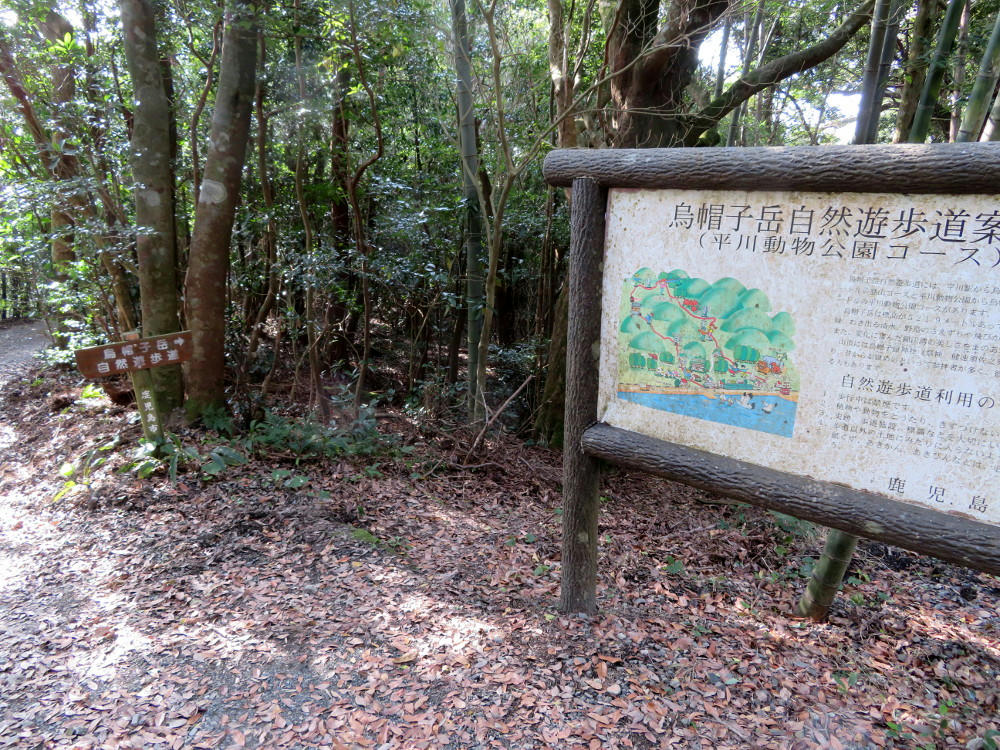
Continuing on, the next stretch went up a series of orange wood steps before coming out at another service road. Here, I'm looking back the way I came to the right, behind the sign.
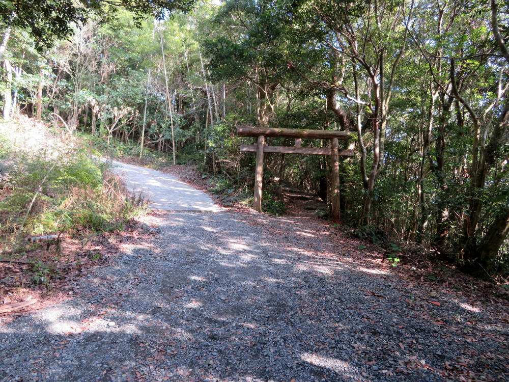
Turning around, the service road goes up to the left. The sign for the trail points to the torii gate.
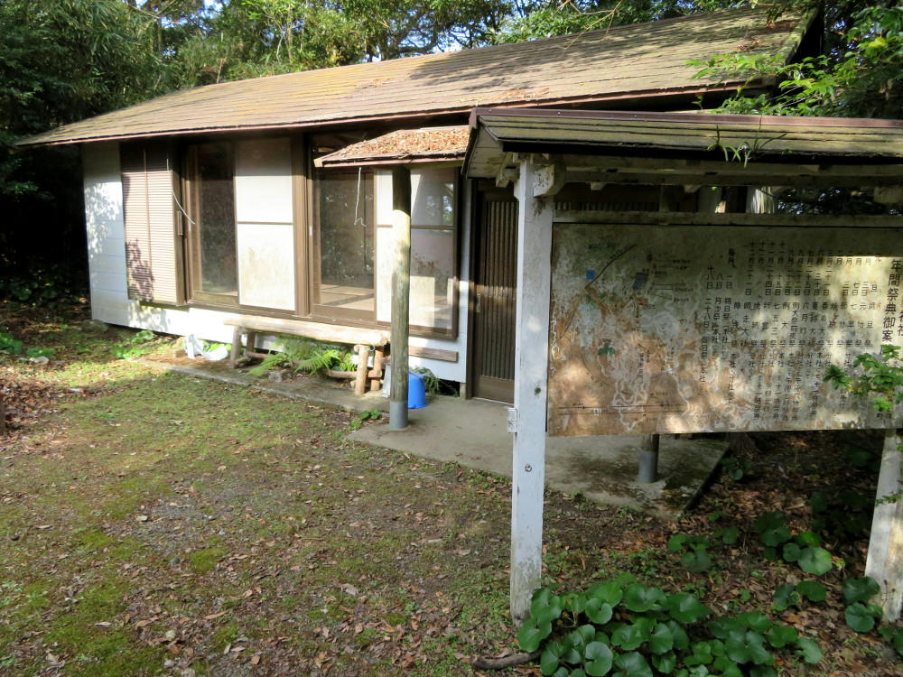
Going up the trail, I emerge next to the living quarters/meeting space for the shrine priest.
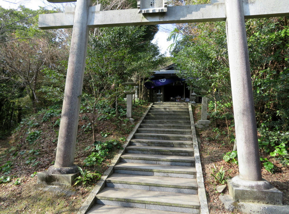
On the other side of gate three is Eboshigatake shrine. (The trail map shows 3 gates along the short route. It also says the mountain top is 564 meters above sea level (1850 feet). By now, I've finished off one bottle of water and the chocolate covered biscuits. I've arrived at just about 10 AM.
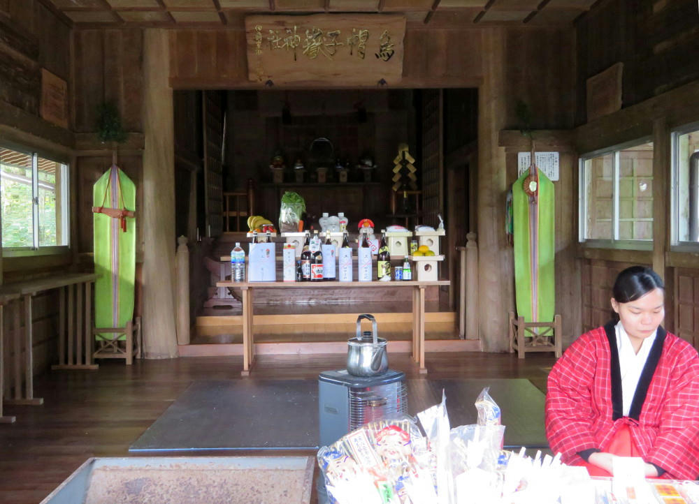
And I'm absolutely stunned to find two miko (shrine priestesses) running the shrine and selling lucky talismans. (I'd expected the place to be abandoned.) As I'm talking to them, I hear the ringing of a bell, and then an older couple walks up from behind the shrine to buy a $50 talisman set. I haven't seen anyone else along the way, and I assume that they drove up here on the service road and parked in a lot a little ways away before walking the last few yards to the shrine. The couple leaves, and I buy a $1 fortune and say goodbye to the Miko. (I lose the fortune along the way back down the hill.)
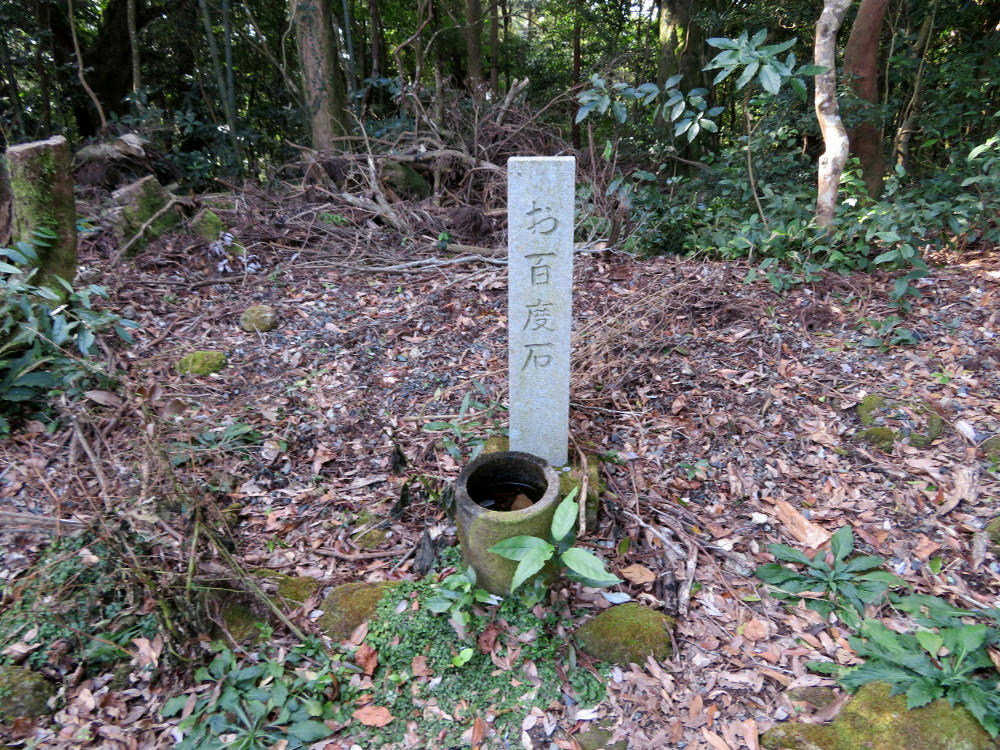
Walking to the back of the shrine, I spot another memorial marker.
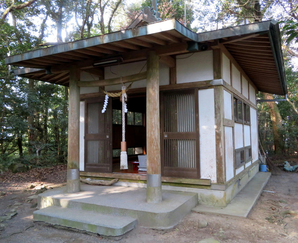
And another shrine building. This is where the bell ringing sound had come from.
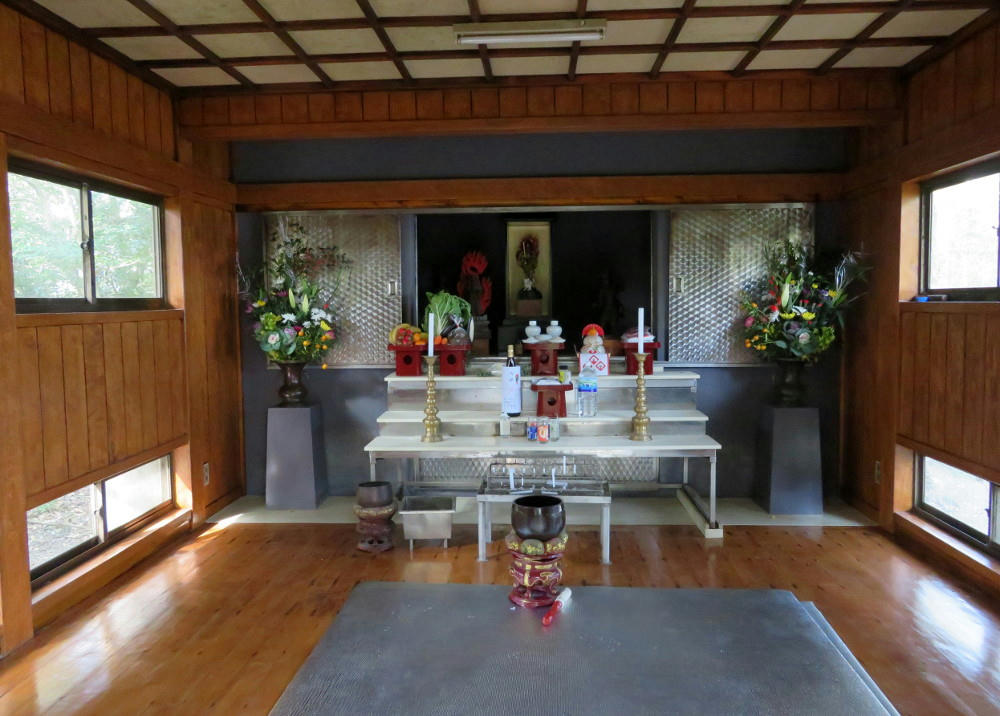
It's kept in very good condition. I toss a 50 yen coin into the hopper, ring the bell, and make a short prayer before leaving the way I came.
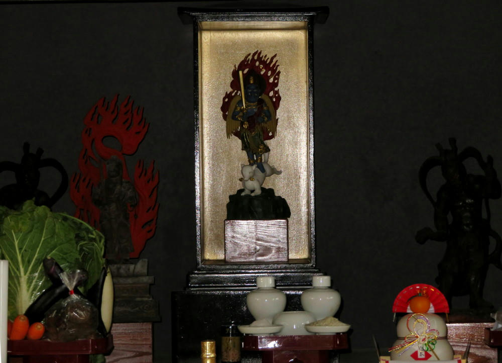
Offerings include cabbage, carrots, eggplants and sake.
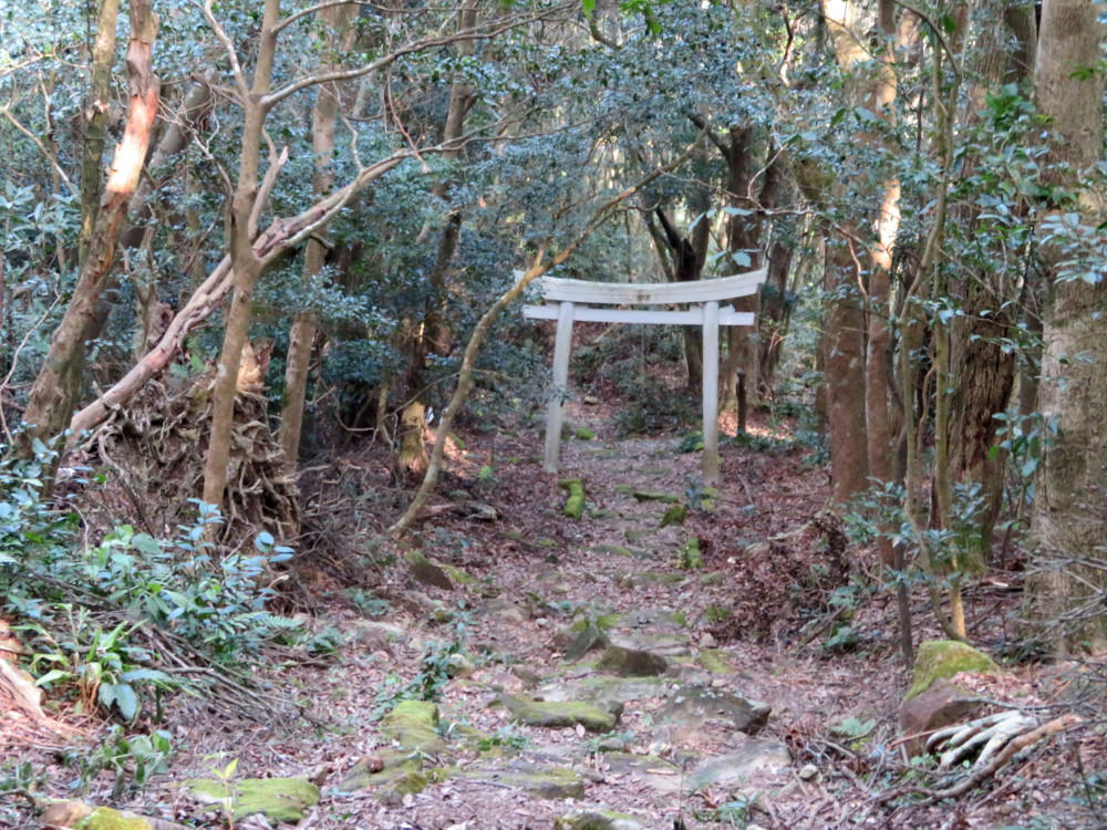
I check with the Miko that this is the entrance to the short route to Hirakawa station. They say, "yes," but it's not in very good condition. When they see my walking stick, they allow that maybe it wouldn't be that bad for me.
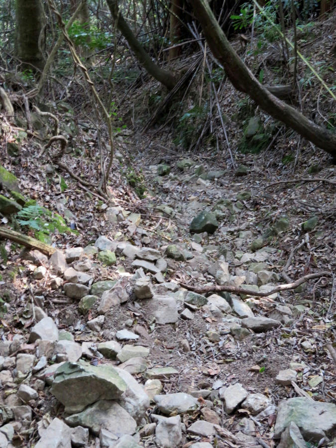
And they aren't kidding. The entire way down is littered with loose rocks, and in a couple places the trail is washed out. At one point, I lost the trail completely. Fortunately, I was able to pick it up again 20-30 feet farther down, where it because obvious that there was supposed to be an alternate route that I'd missed.
I was really glad I'd brought the walking stick for balance.
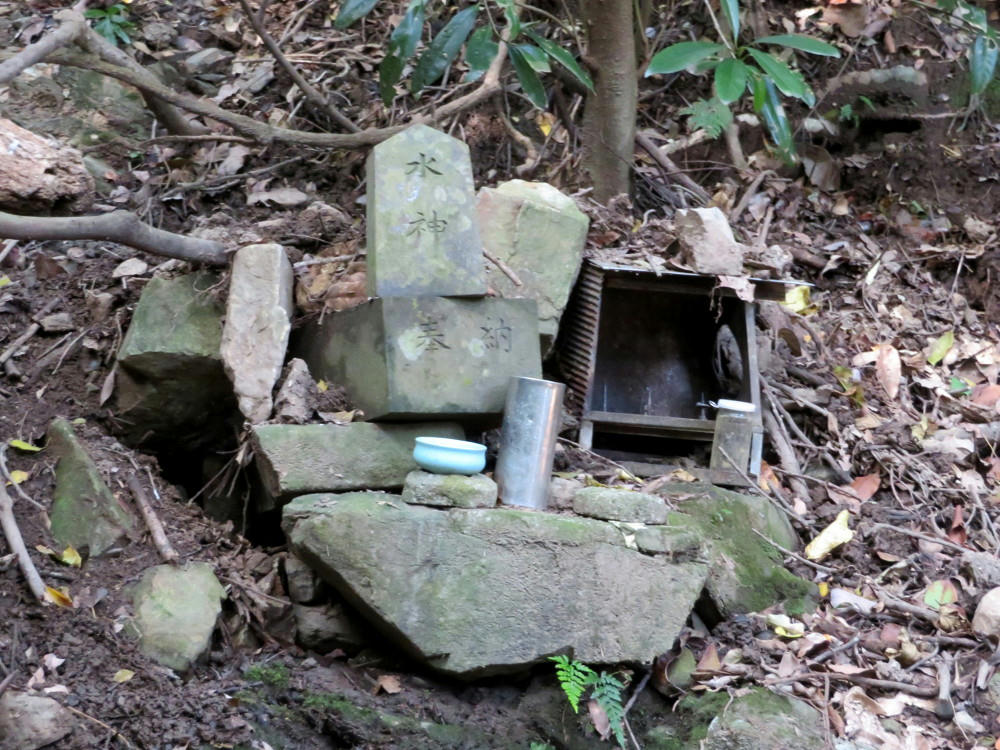
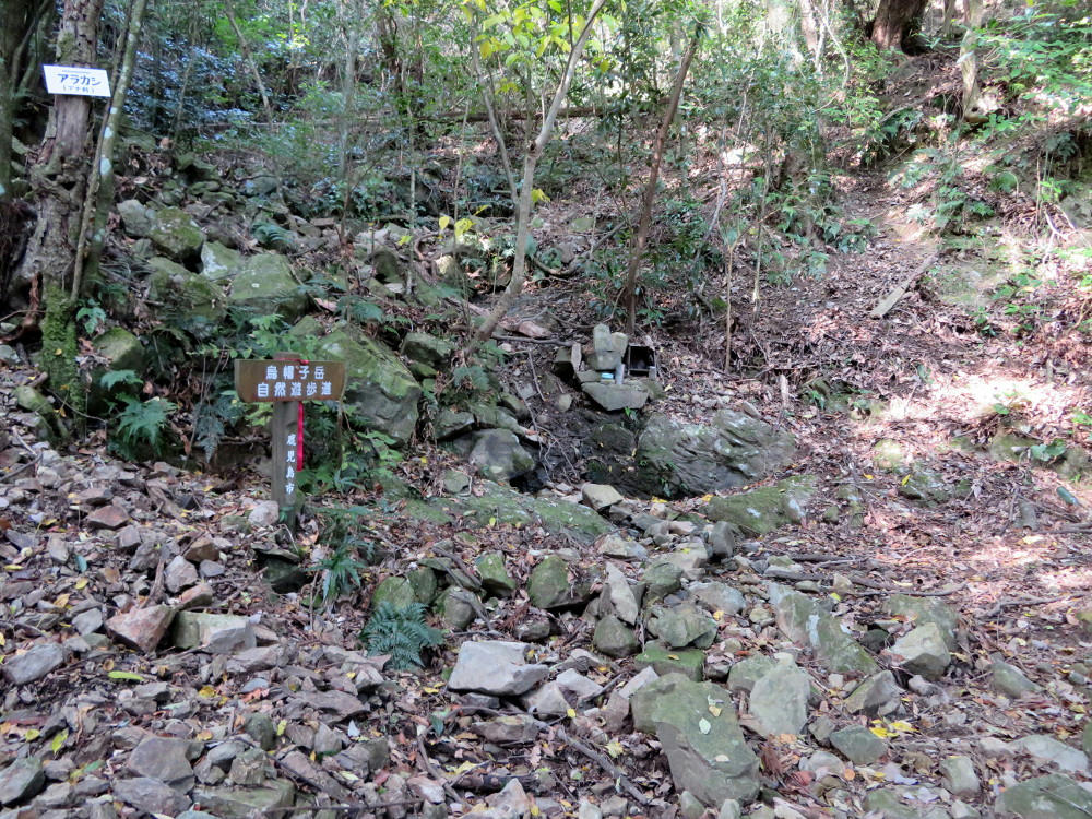
The second Water God shrine. This one is on the trail map.
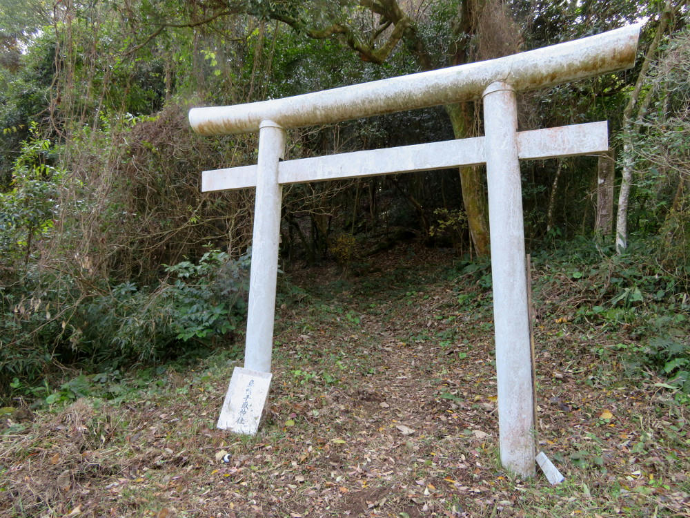
Torii #2, if you're not counting backwards.
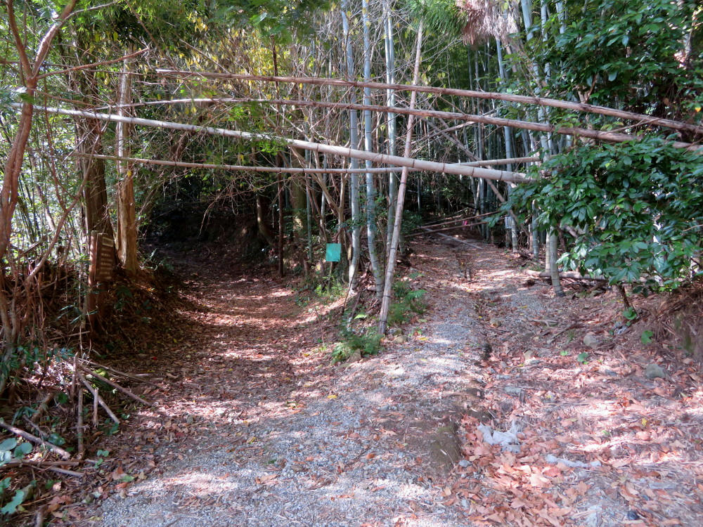
Finally at the bottom of the hill. Not sure what that trail to the right leads to... I came out from the left hand trail.
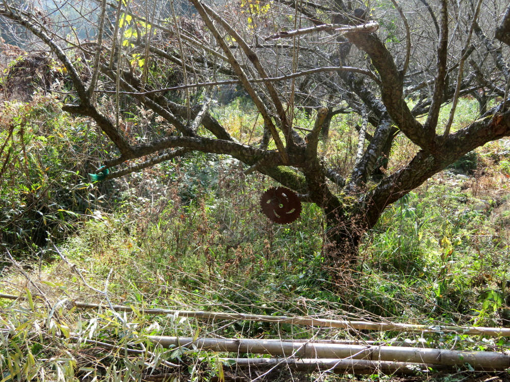
And, you can't have a hiking trail without the obligatory sawblade hanging from a tree. From here, the trail turns into a regular road and runs past a school and a few businesses.
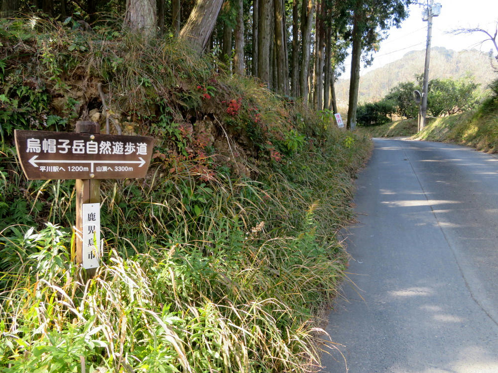
I'm now at the main north-south coast road. The Hirakawa train station is 1.2 km north from here. The sign says it's 3.3 km to the top of the hill.
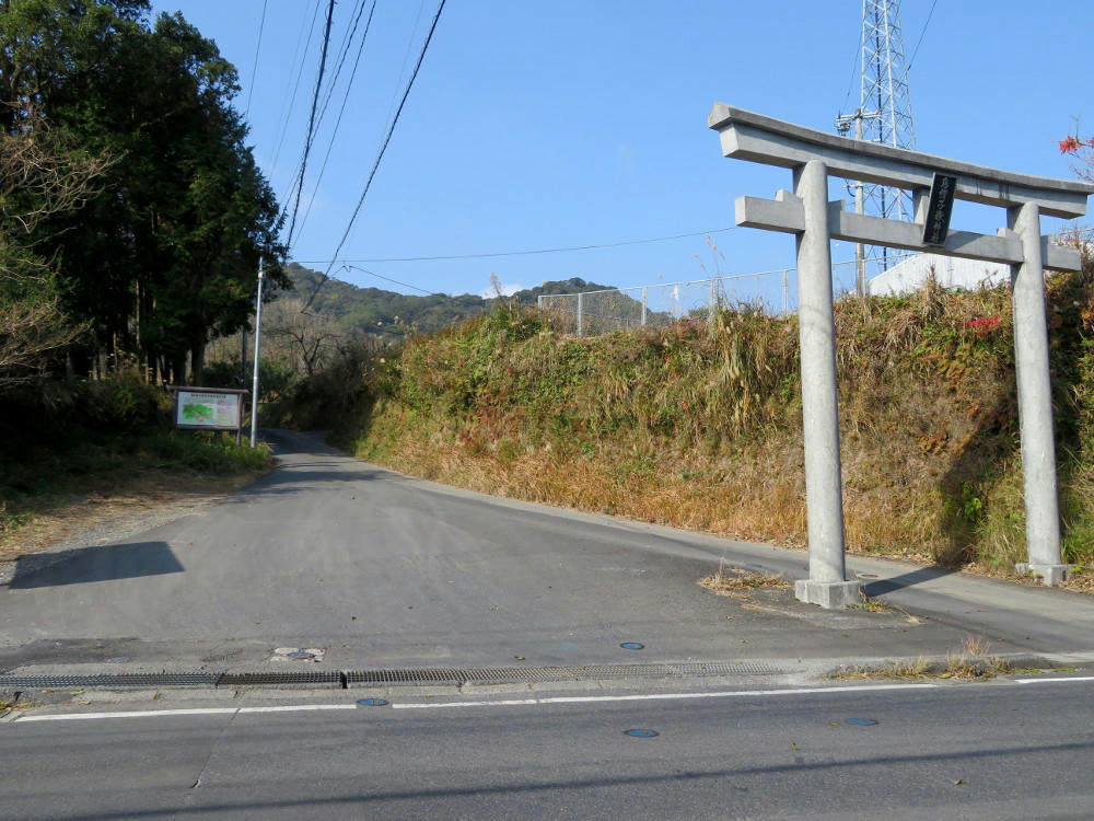
Torii #1 and the official trail head for the short route.
I get to the station at 12:05 PM. That's 12.9 km in about 3.5 hours on a trail with a suggested 5 hour hike time. Not bad. Along the way, I eat both sandwiches and finish off my larger bottle of water. I still have a 500 ml bottle left. I buy a ticket for 370 yen, and the train arrives a few minutes later.
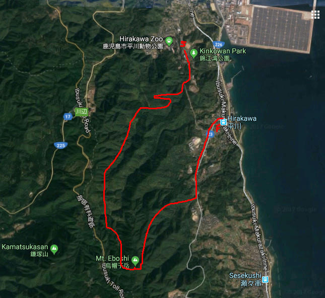
(This is roughly the route I followed. Google's satellite view doesn't have a complete image of the full route. It's 8.4 km from the park to Mt. Eboshi, and 4.5 km from Eboshi to Hirakawa station.)
By 12:30, I'm at the main Kagoshima station, so I run over to the street car and take that to the far end of Tenmonkan. That drops me off 5 blocks short of Dolphin Port. I hobble that distance in and get to the the Port at 1 PM.
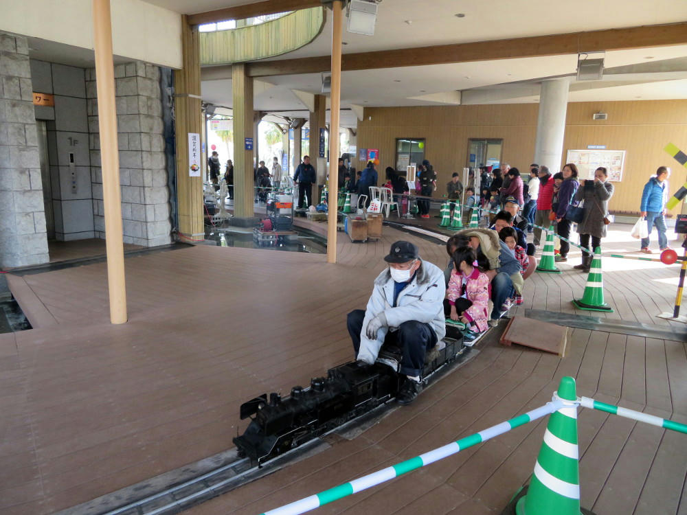
This is the train I should have taken.
I look for a schedule, and find out the monkey demo is in one of the meeting rooms. I locate that room just as the trainer is introducing Nana. There's already 30-40 people taking up all the chairs, so I lean against one back wall, and try to get a couple good photos for the blog.
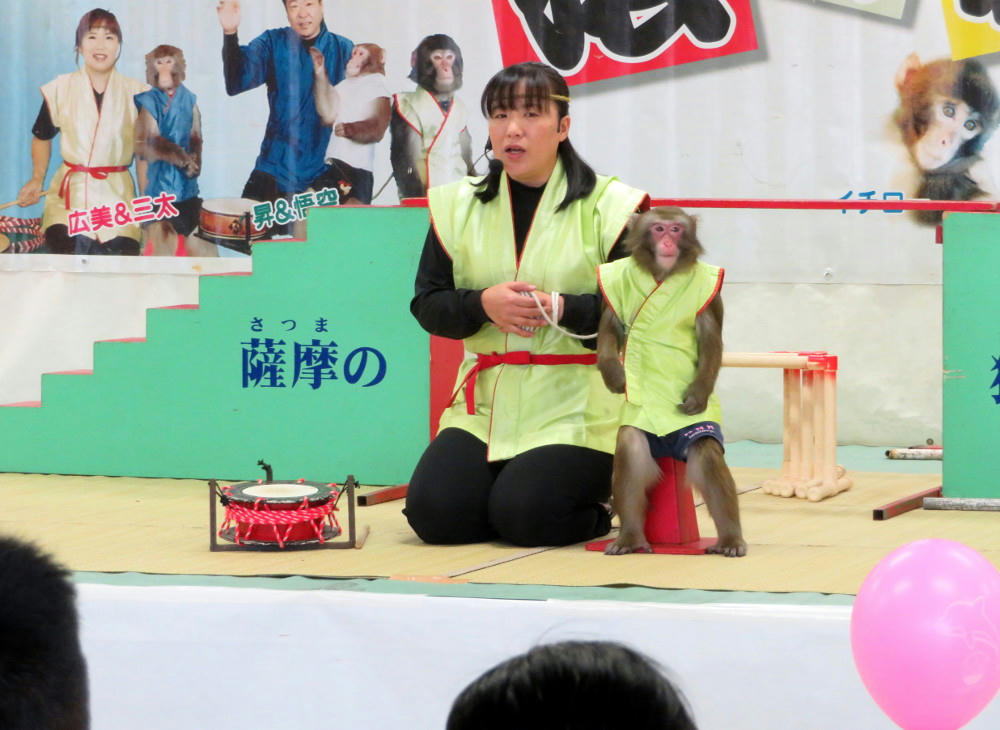
Nana is very well behaved.
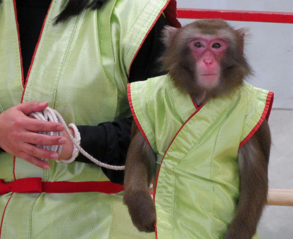
But not very happy.
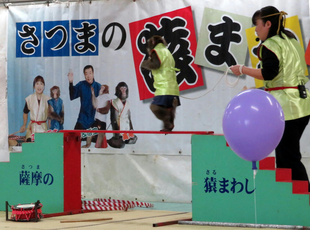
The trainer uses her to teach the children about monkey physiology, and has her going through a bunch of tricks. I'm too far back to get good shots of her if she moves too fast. Towards the end, Nana tries to rebel, but ends up jumping through a bunch of hoops anyway (literally. Jumping through hoops is part of the act.) The show runs 15 minutes, and then the trainer and her boss have a quiz, with the rewards being new year's stickers for those that get the answers right.
I leave and head over to Tenmonkan where the rice pounding event was supposed to be held. I arrive just as the tables are being torn down, so no free mochi for me. Instead, I go to Tully's coffee shop and get a scrambled egg and salad waffle and a small coffee. I'm bushed and really need the rest. Then I find out I have to do shopping, so I walk the kilometer back up to the main train station. I buy some paper towels and laundry detergent, then see if the Saigo Matsuri event still has any live music. There's nothing right then, so I go inside and get free Kaldi sample coffee, lean the walking stick against a wall and read some more to kill time. I go back upstairs at 3 PM, and the female emcee is just talking with the mixer guy and some other woman. It doesn't look like anything else is going to happen. But, with my walking from Dolphin Port to the main station and then back home, I've covered at least 14, if not 15 kilometers (9.5 miles), and I've seen a monkey jumping through hoops. So, that was good.
When I get home, I realize that I don't have the walking stick anymore. I return to Amu Plaza (give myself one more km) and the information desk tells me that no one turned in a walking stick. I check the places I suspect I could have left it, and don't find anything. Either someone did find it and turned it in and it just wasn't recorded yet, or one of the hundreds of old people here decided they wanted it. I'll try calling the Amu Plaza offices the next day and hope for the best. That part could have gone better.


No comments:
Post a Comment